


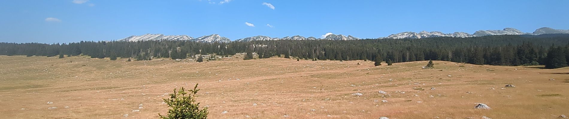
Rocher de la Peyrouse

Noiraude
User
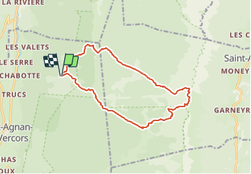

Length
16.3 km

Max alt
1983 m

Uphill gradient
883 m
Km-Effort
28 km

Min alt
1283 m

Downhill gradient
882 m
Boucle
Yes
Creation date :
2023-07-23 06:24:52.983
Updated on :
2023-08-15 11:09:35.968
8h02
Difficulty : Difficult

FREE GPS app for hiking
 SityTrail
IGN / Geographical institutes
SityTrail Plus
The world is yours!
About
Trail Walking of 16.3 km to be discovered at Auvergne-Rhône-Alpes, Drôme, Saint-Agnan-en-Vercors. This trail is proposed by Noiraude.
Photos


Positioning
Country:
France
Region :
Auvergne-Rhône-Alpes
Department/Province :
Drôme
Municipality :
Saint-Agnan-en-Vercors
Location:
Unknown
Start:(Dec)
Start:(UTM)
693968 ; 4980906 (31T) N.
Comments