


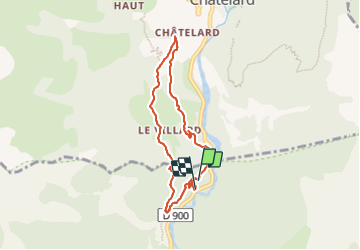

7.8 km | 13.4 km-effort

User


FREE GPS app for hiking
 SityTrail
IGN / Geographical institutes
SityTrail World
The world is yours!
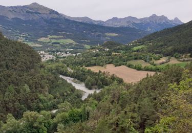
Trail Walking of 6.9 km to be discovered at Provence-Alpes-Côte d'Azur, Alpes-de-Haute-Provence, Jausiers. This trail is proposed by andre06130.
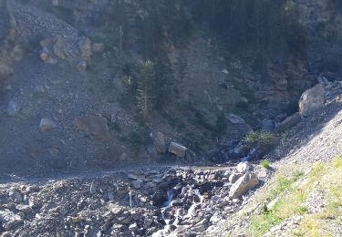
Un passage délicat surtout en VTT (fléché Rouge)


Walking

Walking
Mountain bike

Walking
Walking
Walking
Walking
Snowshoes
Walking