


J6 Ref du Chardonnet

ARPF
User
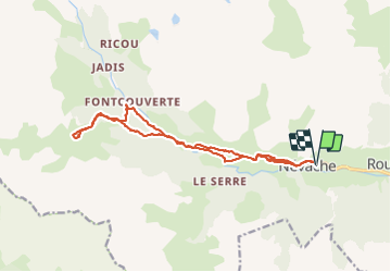

Length
17.8 km

Max alt
2233 m

Uphill gradient
702 m
Km-Effort
27 km

Min alt
1596 m

Downhill gradient
701 m
Boucle
Yes
Creation date :
2015-01-15 00:00:00.0
Updated on :
2015-01-15 00:00:00.0
5m
Difficulty : Difficult

FREE GPS app for hiking
 SityTrail
IGN / Geographical institutes
SityTrail Plus
The world is yours!
About
Trail Snowshoes of 17.8 km to be discovered at Provence-Alpes-Côte d'Azur, Hautes-Alpes, Névache. This trail is proposed by ARPF.
Description
Très belle rando dans la poudreuse de 18km et 700m dénivelée.
Montée en 3 heures en allant doucement.
Positioning
Country:
France
Region :
Provence-Alpes-Côte d'Azur
Department/Province :
Hautes-Alpes
Municipality :
Névache
Location:
Unknown
Start:(Dec)
Start:(UTM)
311458 ; 4987859 (32T) N.
Comments