


L'Audomarois

VANDERPUTTENMi
User GUIDE
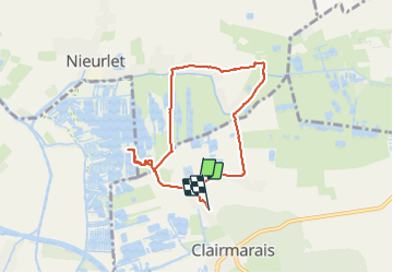

Length
6.6 km

Max alt
8 m

Uphill gradient
25 m
Km-Effort
6.9 km

Min alt
-2 m

Downhill gradient
21 m
Boucle
No
Creation date :
2023-08-16 08:05:04.383
Updated on :
2023-08-18 21:07:37.036
1h33
Difficulty : Medium

FREE GPS app for hiking
 SityTrail
IGN / Geographical institutes
SityTrail Plus
The world is yours!
About
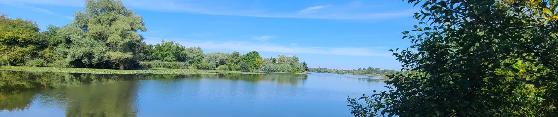
Trail Walking of 6.6 km to be discovered at Hauts-de-France, Pas-de-Calais, Clairmarais. This trail is proposed by VANDERPUTTENMi.
Photos

Positioning
Country:
France
Region :
Hauts-de-France
Department/Province :
Pas-de-Calais
Municipality :
Clairmarais
Location:
Unknown
Start:(Dec)
Start:(UTM)
450523 ; 5625086 (31U) N.
Comments