La Haute Route : J11

Greg813
User

Length
18.8 km

Max alt
2372 m

Uphill gradient
964 m

Km-Effort
34 km

Min alt
1598 m

Downhill gradient
1622 m
Boucle
No
Creation date :
2023-08-17 06:01:44.132
Updated on :
2024-09-15 07:25:10.778
5h07
Difficulty : Difficult

FREE GPS app for hiking
About
Trail Walking of 18.8 km to be discovered at Valais/Wallis, Visp, Randa. This trail is proposed by Greg813.
Description
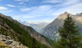
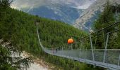
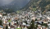
Trek de 10 jours dans le Valais suisse avec Mettons le Monde en Marche. Parcours de la Haute Route Chamonix-Zermatt avec nuits en refuge.
Etape 10 : Europahutte - Zermatt
Pour d'autres photos, voir le site de l'association :
https://mmm-rando.org/la-presque-haute-route-chable-zermatt/
Positioning
Country:
Switzerland
Region :
Valais/Wallis
Department/Province :
Visp
Municipality :
Randa
Location:
Unknown
Start:(Dec)
Start:(UTM)
407722 ; 5106487 (32T) N.
Comments


 SityTrail


