


rando avec Anne et Christophe Août 2023

bendoush
User

Length
7.2 km

Max alt
494 m

Uphill gradient
167 m
Km-Effort
9.6 km

Min alt
329 m

Downhill gradient
192 m
Boucle
No
Creation date :
2023-08-17 15:21:21.249
Updated on :
2023-08-17 17:27:24.739
48m
Difficulty : Medium

FREE GPS app for hiking
 SityTrail
IGN / Geographical institutes
SityTrail Plus
The world is yours!
About
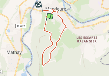
Trail Walking of 7.2 km to be discovered at Bourgogne-Franche-Comté, Doubs, Mandeure. This trail is proposed by bendoush.
Positioning
Country:
France
Region :
Bourgogne-Franche-Comté
Department/Province :
Doubs
Municipality :
Mandeure
Location:
Unknown
Start:(Dec)
Start:(UTM)
334114 ; 5257144 (32T) N.
Comments