


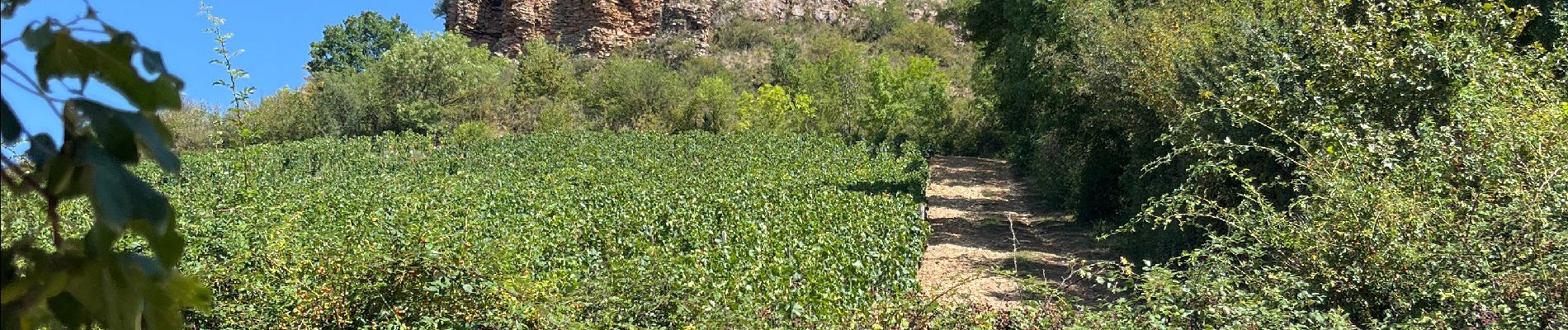
Roche de Solutré

dan69390
User
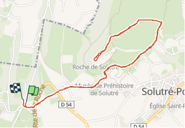

Length
3.7 km

Max alt
464 m

Uphill gradient
132 m
Km-Effort
5.4 km

Min alt
381 m

Downhill gradient
131 m
Boucle
Yes
Creation date :
2023-08-18 08:28:01.0
Updated on :
2023-08-18 09:57:53.103
1h29
Difficulty :

FREE GPS app for hiking
 SityTrail
IGN / Geographical institutes
SityTrail Plus
The world is yours!
About
Trail Walking of 3.7 km to be discovered at Bourgogne-Franche-Comté, Saône-et-Loire, Solutré-Pouilly. This trail is proposed by dan69390.
Photos


Positioning
Country:
France
Region :
Bourgogne-Franche-Comté
Department/Province :
Saône-et-Loire
Municipality :
Solutré-Pouilly
Location:
Unknown
Start:(Dec)
Start:(UTM)
631880 ; 5128391 (31T) N.
Comments