


Champsaur Vieux Chaillol

c.gourme
User

Length
21 km

Max alt
3143 m

Uphill gradient
1452 m
Km-Effort
41 km

Min alt
1611 m

Downhill gradient
1550 m
Boucle
No
Creation date :
2023-08-18 05:05:43.0
Updated on :
2023-08-20 13:15:01.014
9h01
Difficulty : Difficult

FREE GPS app for hiking
 SityTrail
IGN / Geographical institutes
SityTrail Plus
The world is yours!
About
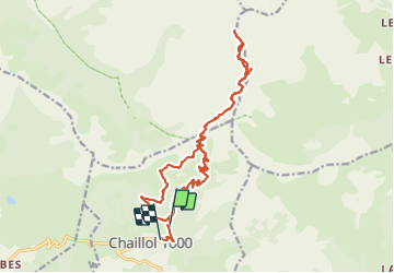
Trail Walking of 21 km to be discovered at Provence-Alpes-Côte d'Azur, Hautes-Alpes, Saint-Michel-de-Chaillol. This trail is proposed by c.gourme.
Description
On peut raccourcir la rando en prenant sur le retour un sentier raide au point 2040.
Au départ nous sommes garés à un parking plus haut que la station Chaillol
Positioning
Country:
France
Region :
Provence-Alpes-Côte d'Azur
Department/Province :
Hautes-Alpes
Municipality :
Saint-Michel-de-Chaillol
Location:
Unknown
Start:(Dec)
Start:(UTM)
275705 ; 4952696 (32T) N.
Comments