


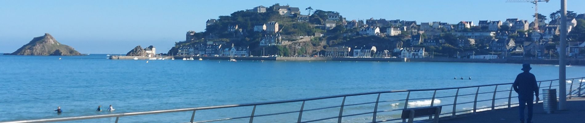
GR_34_CA_14_Pleneuf-Val-Andre_Lamballe_20230820

patrickdanilo
User
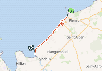


3h33
Difficulty : Medium

FREE GPS app for hiking
 SityTrail
IGN / Geographical institutes
SityTrail Plus
The world is yours!
About
Trail Walking of 14 km to be discovered at Brittany, Côtes-d'Armor, Pléneuf-Val-André. This trail is proposed by patrickdanilo.
Description
Randonnée Marche de 14 km à découvrir à Bretagne, Côtes-d'Armor, Pléneuf-Val-André. Cette randonnée est proposée par patrickdanilo.
Photos


23 photos in total. Please click on a photo to see them all in the gallery.
Positioning
Comments