Col de Saint Bonnet (11 km - D. 377 m)

Thomasdanielle
User
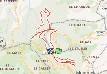

Length
11.2 km

Max alt
715 m

Uphill gradient
377 m
Km-Effort
16.2 km

Min alt
504 m

Downhill gradient
376 m
Boucle
Yes
Creation date :
2023-08-21 06:37:43.0
Updated on :
2023-08-22 08:21:58.723
3h41
Difficulty : Difficult

FREE GPS app for hiking
 SityTrail
IGN / Geographical institutes
SityTrail Plus
The world is yours!
About
Trail Walking of 11.2 km to be discovered at Auvergne-Rhône-Alpes, Rhône, Montmelas-Saint-Sorlin. This trail is proposed by Thomasdanielle.
Description
D/A : Parking au Col de St. Bonnet - Randonnée bien ombragée
(retour au parking puis faire la monter jusqu'à la Chapelle de St. Bonnet et parking)
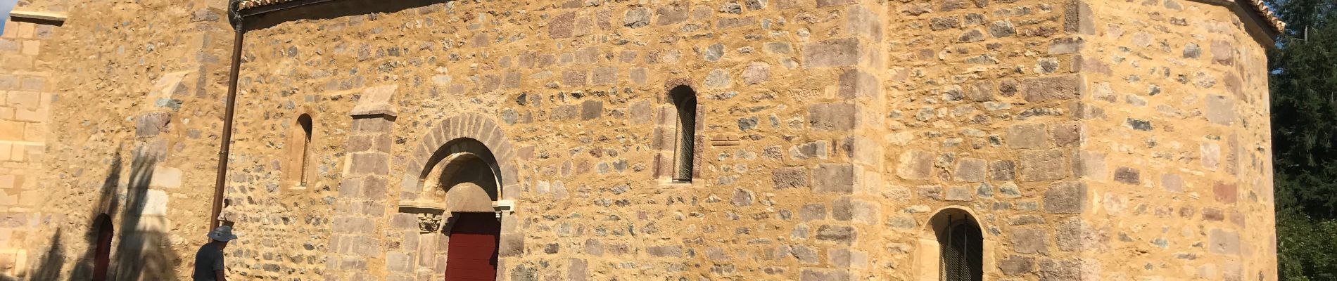
Photos
 - Photo 1")
Positioning
Country:
France
Region :
Auvergne-Rhône-Alpes
Department/Province :
Rhône
Municipality :
Montmelas-Saint-Sorlin
Location:
Unknown
Start:(Dec)
Start:(UTM)
623148 ; 5097662 (31T) N.
Comments