


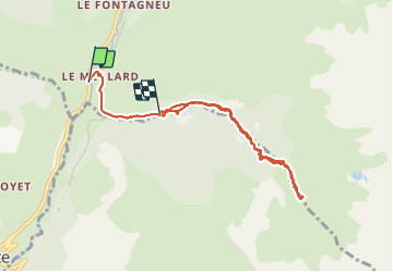

13.1 km | 27 km-effort

User


FREE GPS app for hiking
 SityTrail
IGN / Geographical institutes
SityTrail World
The world is yours!
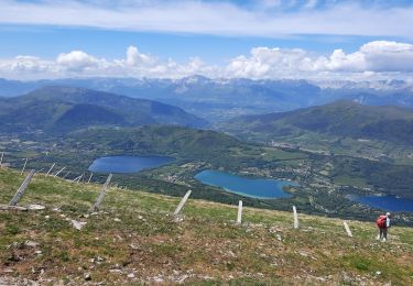
Trail Walking of 8.1 km to be discovered at Auvergne-Rhône-Alpes, Isère, Lavaldens. This trail is proposed by claude nier.
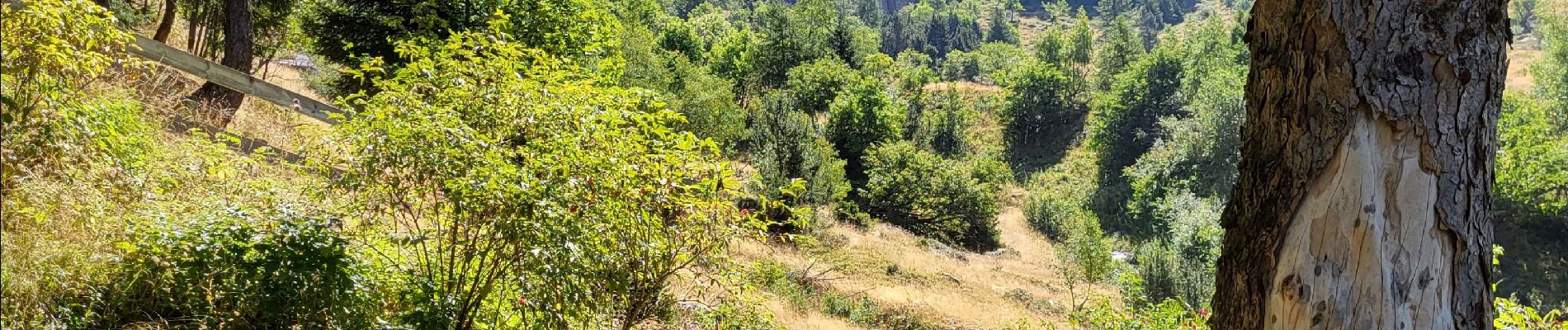
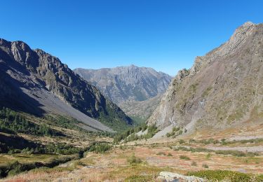
Putain....ça monte ça monte !!!
680 mts sur 4 bornes !!
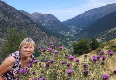
oppere 3 fois à cœur ouvert ,bravo Monsieur Claude.


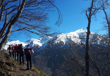
Walking

Walking
Walking
Walking
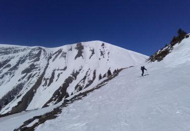
Touring skiing
Walking
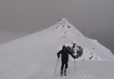
Touring skiing
Walking
Walking