


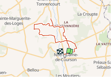

15.3 km | 17 km-effort

User


FREE GPS app for hiking
 SityTrail
IGN / Geographical institutes
SityTrail World
The world is yours!
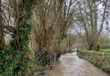
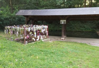
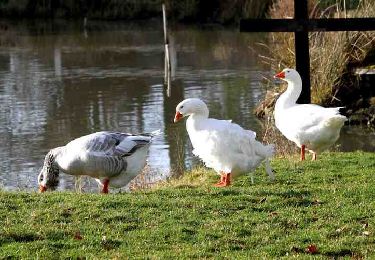
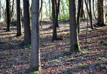
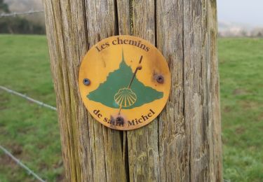
Trail Walking of 14.8 km to be discovered at Normandy, Calvados, Livarot-Pays-d'Auge. This trail is proposed by Eve - Line.
Départ de la mairie
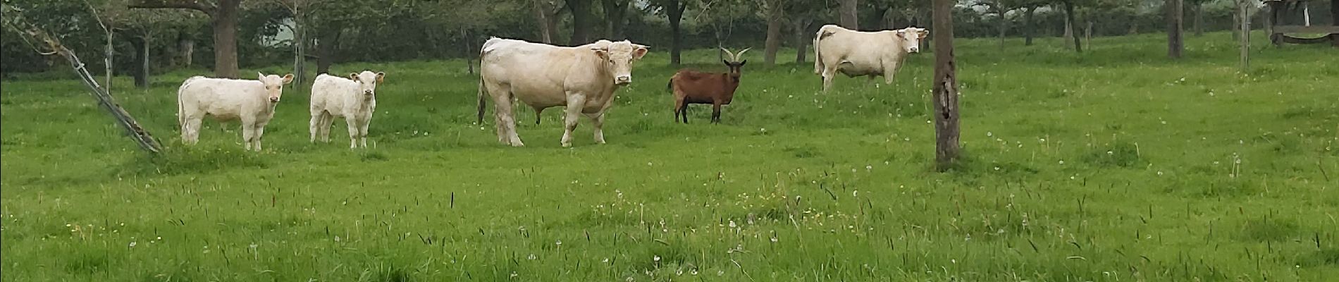
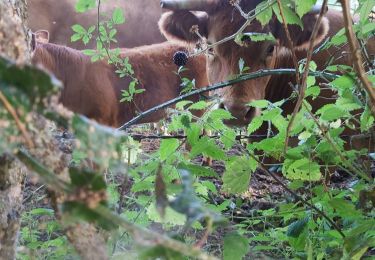
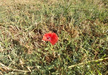
circuit très agréable


Walking
4x4
Walking
Walking
Walking

Walking

Motor
Walking