


SEYNES. COL BAS . LES 3 LACS . O L S

RobinMicheline
User GUIDE
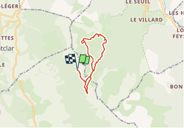

Length
11.8 km

Max alt
2160 m

Uphill gradient
438 m
Km-Effort
17.6 km

Min alt
1908 m

Downhill gradient
430 m
Boucle
Yes
Creation date :
2023-08-25 04:08:02.514
Updated on :
2023-08-27 09:59:00.832
3h24
Difficulty : Medium

FREE GPS app for hiking
 SityTrail
IGN / Geographical institutes
SityTrail Plus
The world is yours!
About
Trail Walking of 11.8 km to be discovered at Provence-Alpes-Côte d'Azur, Alpes-de-Haute-Provence, Seyne. This trail is proposed by RobinMicheline.
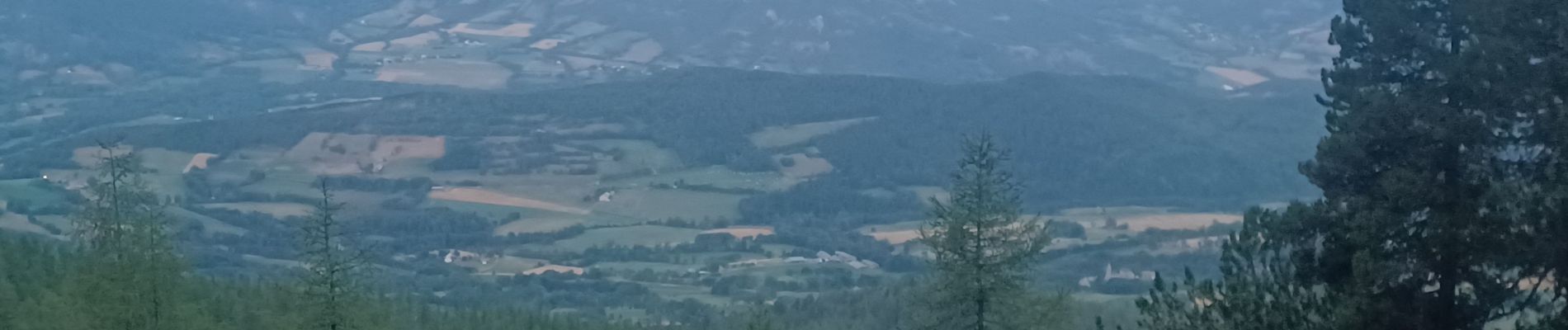
Photos


Positioning
Country:
France
Region :
Provence-Alpes-Côte d'Azur
Department/Province :
Alpes-de-Haute-Provence
Municipality :
Seyne
Location:
Unknown
Start:(Dec)
Start:(UTM)
292111 ; 4918034 (32T) N.
Comments