


Compostelle / Chemin du Puy : de Estaing à Espeyhrac

webmammuth
User
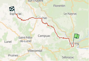

Length
25 km

Max alt
680 m

Uphill gradient
723 m
Km-Effort
34 km

Min alt
312 m

Downhill gradient
664 m
Boucle
No
Creation date :
2023-08-27 06:23:32.974
Updated on :
2023-08-27 14:19:08.262
7h54
Difficulty : Easy

FREE GPS app for hiking
 SityTrail
IGN / Geographical institutes
SityTrail Plus
The world is yours!
About
Trail Walking of 25 km to be discovered at Occitania, Aveyron, Estaing. This trail is proposed by webmammuth.
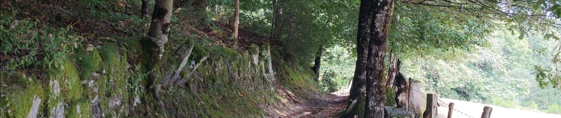
Photos

Positioning
Country:
France
Region :
Occitania
Department/Province :
Aveyron
Municipality :
Estaing
Location:
Unknown
Start:(Dec)
Start:(UTM)
473863 ; 4933822 (31T) N.
Comments