


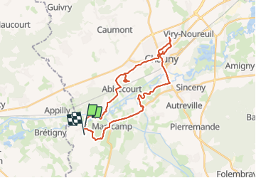

53 km | 62 km-effort


FREE GPS app for hiking
 SityTrail
IGN / Geographical institutes
SityTrail World
The world is yours!
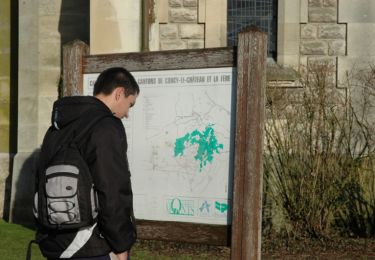
Trail of 29 km to be discovered at Hauts-de-France, Aisne, Quierzy. This trail is proposed by 000114.9bbc9f4d6ceb4d0792ecf953a7cb56dd.1433.
Rando perso

Mountain bike
Walking
Walking
Walking
Walking
Walking

Walking
Walking