


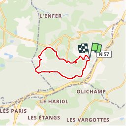


14.8 km | 20 km-effort

User


FREE GPS app for hiking
 SityTrail
IGN / Geographical institutes
SityTrail World
The world is yours!
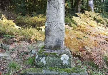
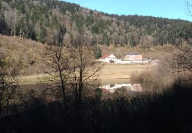
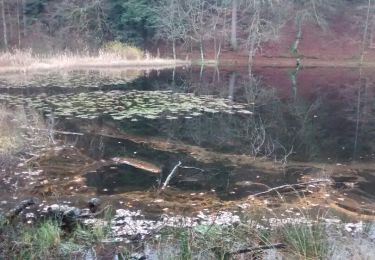
Trail Walking of 9.3 km to be discovered at Grand Est, Vosges, Saint-Nabord. This trail is proposed by jeanclaude12.
Départ à l'Etang de La Demoiselle vers l'étang du Livier, Surifontaine, la Broche Avaud et retour par l'Arboretum de Humont, les Granges d' olichamp (à proximité) vers l'étang de La Demoiselle.


On foot

Walking
Walking

On foot
Walking
Walking
Walking

Walking