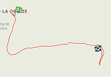

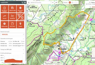
17 km | 26 km-effort


User


FREE GPS app for hiking
 SityTrail
IGN / Geographical institutes
SityTrail World
The world is yours!
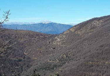
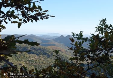
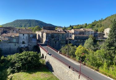
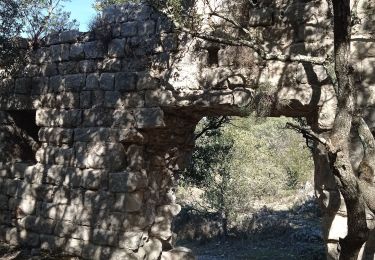
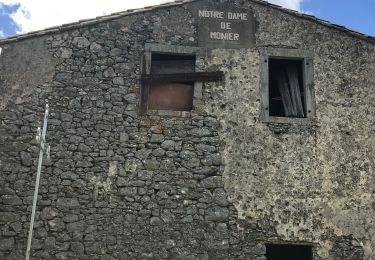
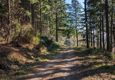
Trail Walking of 1 km to be discovered at Occitania, Hérault, Montoulieu. This trail is proposed by legereric.
Walking
Road bike
Walking
Walking
On foot


sport
Walking

Walking