


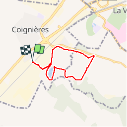


5.7 km | 7.1 km-effort

User


FREE GPS app for hiking
 SityTrail
IGN / Geographical institutes
SityTrail World
The world is yours!
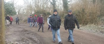
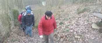
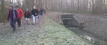
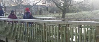
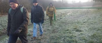
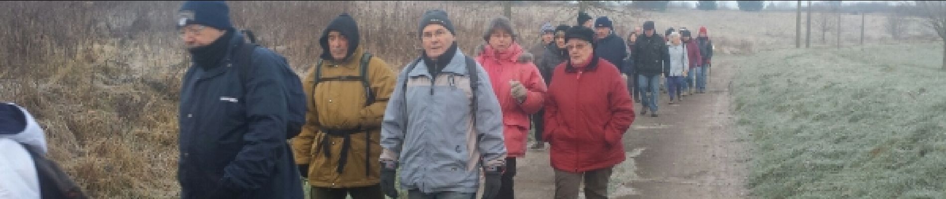
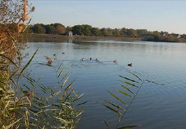
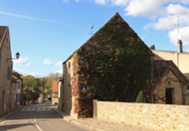
Trail Walking of 5.5 km to be discovered at Ile-de-France, Yvelines, Coignières. This trail is proposed by microb.
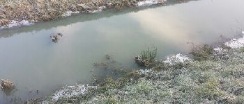
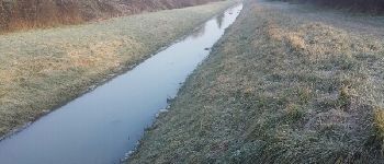
Coignières - Val Favry puis en rigolant royalement dans le Bois de la Fay


Walking

Walking
Walking

Walking

Walking

Walking

Walking

Walking
Walking