Trail Walking Matafelon-Granges - matafelon granges - Photo
 Mer0708
Mer0708

User

© OpenStreetMap contributors
Length
Length
10.6 km
Max alt
Max alt
492 m
Uphill gradient
Uphill gradient
414 m
Km-Effort
Km-Effort  
16.1 km
Min alt
Min alt
310 m
Downhill gradient
Downhill gradient
417 m
Boucle
Boucle
Yes
Creation date :
2023-09-03 08:04:48.658
Updated on :
2023-09-03 13:37:37.151

(0 Reviews)

Walking
Walking
2h33
Difficulty : Difficult

Scan this QR Code to open this trail in the SityTrail application

FREE GPS app for hiking

Logo SityTrail SityTrail

IGN / Geographical institutes

Download SityTrail from the App Store Download SityTrail from Google Play

Logo SityTrail SityTrail World

The world is yours!

Download SityTrail from the App Store Download SityTrail from Google Play Download SityTrail on Huawei AppGallery

About

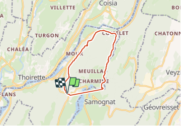
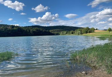
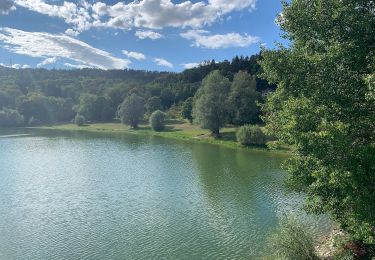
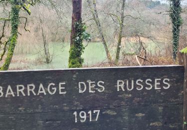
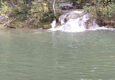
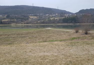
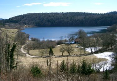
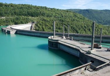
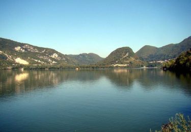
Trail Walking of 10.6 km to be discovered at Auvergne-Rhône-Alpes, Ain, Matafelon-Granges. This trail is proposed by Mer0708.

Description

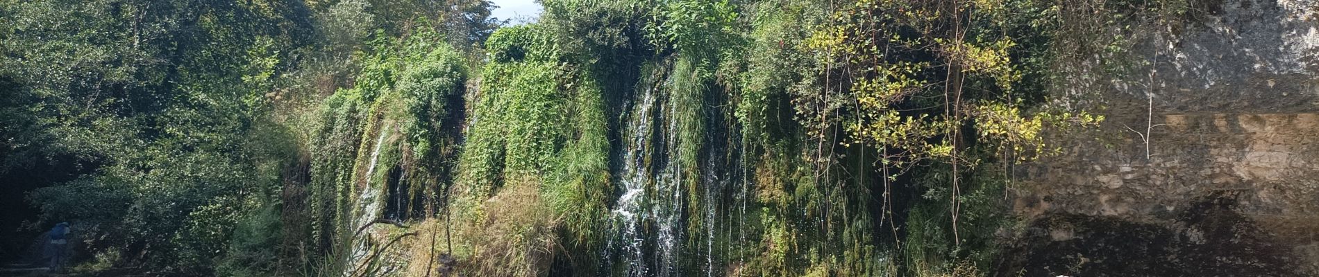
matafelon fontaine noire les marmites de l'oignin

Elevation profile

Photos

Positioning

Country:
France
Region :
Auvergne-Rhône-Alpes
Department/Province :
Ain
Municipality :
Matafelon-Granges
Location:
Unknown
Start:(UTM)
696796 ; 5126314 (31T) N.

Trails nearby

Trail On foot Samognat - Le Tour de l'Oignin - Photo
On foot
PRO

On foot

Easy
Samognat, Auvergne-Rhône-Alpes, Ain, France
8.2 km | 9.8 km-effort
2h 13min
Yes
Trail On foot Matafelon-Granges - Les 2 Vallées - Photo
On foot
PRO

On foot

Easy
Matafelon-Granges, Auvergne-Rhône-Alpes, Ain, France
11.3 km | 16.7 km-effort
3h 47min
Yes
Trail Walking Izernore - izernore barrage d'intriat des tablettes et ce ui reste du barrage desrusses - Photo
Walking
loca.yves

Walking

Easy
Izernore, Auvergne-Rhône-Alpes, Ain, France
11.7 km | 14.6 km-effort
3h 59min
Yes
Trail Walking Matafelon-Granges - Charmines - Au fil de l'Oignin - Photo
Walking
Jackoyo

Walking

Easy
Matafelon-Granges, Auvergne-Rhône-Alpes, Ain, France
8.6 km | 11.7 km-effort
2h 14min
Yes
Trail Walking Samognat - Grand tour du lac de Samoniat - Photo
Walking
cailloux54

Walking

Medium
Samognat, Auvergne-Rhône-Alpes, Ain, France
11.6 km | 14.5 km-effort
2h 52min
No
Trail On foot Izernore - Izernor Trail - Photo
On foot
PRO

On foot

Easy
Izernore, Auvergne-Rhône-Alpes, Ain, France
10.5 km | 14.4 km-effort
3h 16min
Yes
Trail Cycle Thoirette-Coisia - Grande Traversée des Lacs (Etape 1) - Thoirette - Photo
Cycle
tracegps

Cycle

Very difficult
Thoirette-Coisia, Bourgogne-Franche-Comté, Jura, France
94 km | 115 km-effort
7h 30min
No
Trail Cycle Thoirette-Coisia - Tour de la Petite Montagne -  Thoirette - Photo
Cycle
tracegps

Cycle

Very difficult
(1)
Thoirette-Coisia, Bourgogne-Franche-Comté, Jura, France
98 km | 123 km-effort
7h 0min
Yes
Trail Cycle Thoirette-Coisia - Barrages et lac de Coiselet - Thoirette - Photo
Cycle
tracegps

Cycle

Difficult
Thoirette-Coisia, Bourgogne-Franche-Comté, Jura, France
55 km | 67 km-effort
4h 0min
Yes


Close
My subscriptions