


Circuit Caromb

kephas
User
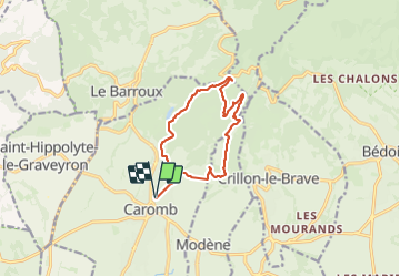

Length
12.3 km

Max alt
459 m

Uphill gradient
351 m
Km-Effort
17 km

Min alt
196 m

Downhill gradient
351 m
Boucle
Yes
Creation date :
2023-09-03 08:21:07.664
Updated on :
2023-09-03 17:21:41.128
3h51
Difficulty : Difficult

FREE GPS app for hiking
 SityTrail
IGN / Geographical institutes
SityTrail Plus
The world is yours!
About
Trail Walking of 12.3 km to be discovered at Provence-Alpes-Côte d'Azur, Vaucluse, Caromb. This trail is proposed by kephas.
Description
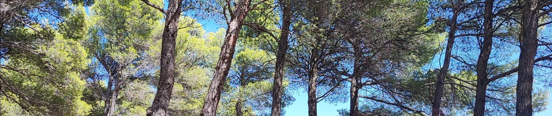
Circuit cool en partie ombragé
Photos

Positioning
Country:
France
Region :
Provence-Alpes-Côte d'Azur
Department/Province :
Vaucluse
Municipality :
Caromb
Location:
Unknown
Start:(Dec)
Start:(UTM)
668816 ; 4886667 (31T) N.
Comments