


Trébeurden - Trozoul GR34 Chapelles Église - 11.1km 200m 3h15 - 2023 09 04

Orcal37
User GUIDE
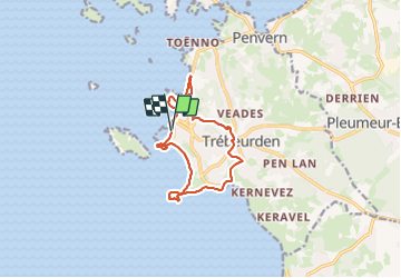

Length
11.2 km

Max alt
78 m

Uphill gradient
206 m
Km-Effort
13.9 km

Min alt
0 m

Downhill gradient
207 m
Boucle
Yes
Creation date :
2023-09-04 12:49:34.043
Updated on :
2023-09-23 13:42:00.842
3h15
Difficulty : Difficult

FREE GPS app for hiking
 SityTrail
IGN / Geographical institutes
SityTrail Plus
The world is yours!
About
Trail Walking of 11.2 km to be discovered at Brittany, Côtes-d'Armor, Trébeurden. This trail is proposed by Orcal37.
Description
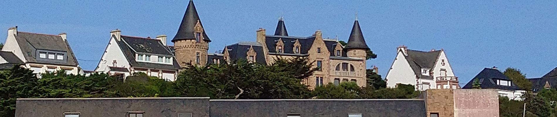
Trébeurden - Trozoul - GR34 - Marais du Quellen - Chapelles - Église - Porz Mabo - GR34 - Pointe de Bihit - le Castel - 11.1km 200m 3h15 - 2023 09 04
Photos


Positioning
Country:
France
Region :
Brittany
Department/Province :
Côtes-d'Armor
Municipality :
Trébeurden
Location:
Unknown
Start:(Dec)
Start:(UTM)
457102 ; 5402233 (30U) N.
Comments