


Mayres..La Beauté 250 +

claude nier
User
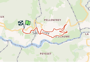

Length
8.3 km

Max alt
767 m

Uphill gradient
248 m
Km-Effort
11.6 km

Min alt
583 m

Downhill gradient
248 m
Boucle
Yes
Creation date :
2023-09-06 06:03:39.288
Updated on :
2023-09-06 08:59:50.376
2h55
Difficulty : Medium

FREE GPS app for hiking
 SityTrail
IGN / Geographical institutes
SityTrail Plus
The world is yours!
About
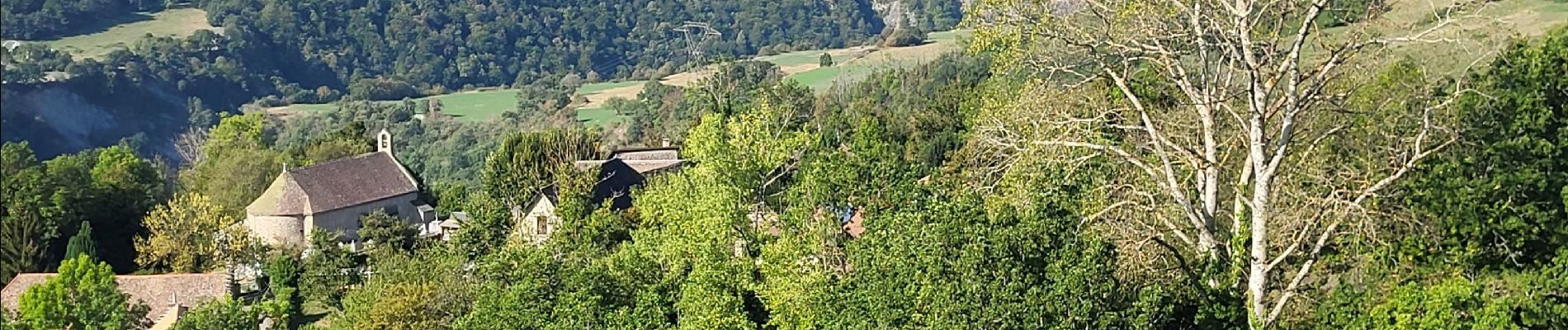
Trail Walking of 8.3 km to be discovered at Auvergne-Rhône-Alpes, Isère, Mayres-Savel. This trail is proposed by claude nier.
Description
Rando du matin ,re-découvrir de mon pays...Bonheur
Photos


Positioning
Country:
France
Region :
Auvergne-Rhône-Alpes
Department/Province :
Isère
Municipality :
Mayres-Savel
Location:
Unknown
Start:(Dec)
Start:(UTM)
715064 ; 4972598 (31T) N.
Comments