


rando jacqueline

Giraud34
User
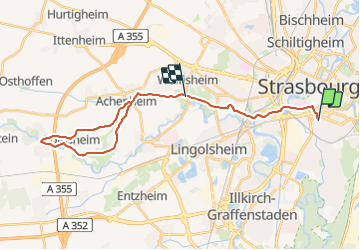

Length
27 km

Max alt
208 m

Uphill gradient
212 m
Km-Effort
30 km

Min alt
132 m

Downhill gradient
213 m
Boucle
No
Creation date :
2023-09-07 14:12:09.548
Updated on :
2023-09-07 14:12:12.106
6h45
Difficulty : Very difficult

FREE GPS app for hiking
 SityTrail
IGN / Geographical institutes
SityTrail Plus
The world is yours!
About
Trail Walking of 27 km to be discovered at Grand Est, Bas-Rhin, Strasbourg. This trail is proposed by Giraud34.
Positioning
Country:
France
Region :
Grand Est
Department/Province :
Bas-Rhin
Municipality :
Strasbourg
Location:
Unknown
Start:(Dec)
Start:(UTM)
408308 ; 5380258 (32U) N.
Comments