


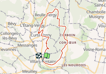

15.7 km | 17.4 km-effort


User


FREE GPS app for hiking
 SityTrail
IGN / Geographical institutes
SityTrail World
The world is yours!
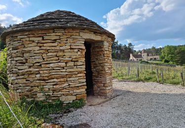
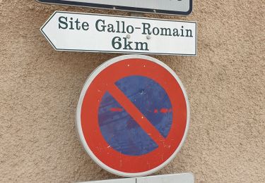
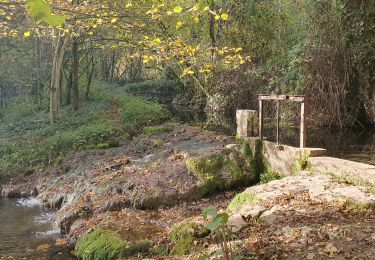
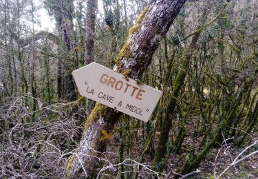
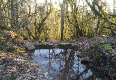
Trail Walking of 16.6 km to be discovered at Bourgogne-Franche-Comté, Côte-d'Or, Villars-Fontaine. This trail is proposed by Montagne71.
joli, pas mal de sous bois.
On foot
Walking
Walking
Walking
Walking
Walking
Walking
Walking

Other activity