


Baisse de Dea (IPhone)

Renefrt
User
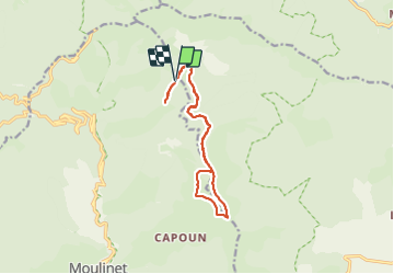

Length
14.3 km

Max alt
1896 m

Uphill gradient
396 m
Km-Effort
19.6 km

Min alt
1707 m

Downhill gradient
393 m
Boucle
Yes
Creation date :
2023-09-07 07:26:31.0
Updated on :
2023-09-07 15:29:47.502
5h34
Difficulty : Medium

FREE GPS app for hiking
 SityTrail
IGN / Geographical institutes
SityTrail Plus
The world is yours!
About
Trail Walking of 14.3 km to be discovered at Provence-Alpes-Côte d'Azur, Maritime Alps, Moulinet. This trail is proposed by Renefrt.
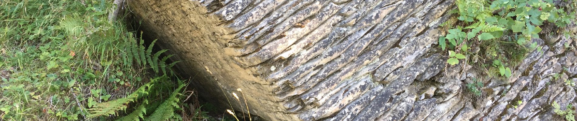
Photos
 - Photo 1")
 - Photo 2")
 - Photo 3")
 - Photo 4")
 - Photo 5")
 - Photo 6")
 - Photo 7")
 - Photo 8")
 - Photo 9")
 - Photo 10")
Positioning
Country:
France
Region :
Provence-Alpes-Côte d'Azur
Department/Province :
Maritime Alps
Municipality :
Moulinet
Location:
Unknown
Start:(Dec)
Start:(UTM)
374725 ; 4871220 (32T) N.
Comments