


refuge Merveilles visite guide pt Countet

taguette
User
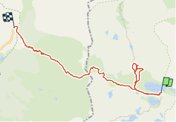

Length
11.8 km

Max alt
2510 m

Uphill gradient
542 m
Km-Effort
20 km

Min alt
1686 m

Downhill gradient
977 m
Boucle
No
Creation date :
2023-09-08 06:13:01.159
Updated on :
2023-09-08 17:45:10.771
7h59
Difficulty : Very difficult

FREE GPS app for hiking
 SityTrail
IGN / Geographical institutes
SityTrail Plus
The world is yours!
About
Trail Walking of 11.8 km to be discovered at Provence-Alpes-Côte d'Azur, Maritime Alps, Tende. This trail is proposed by taguette.
Positioning
Country:
France
Region :
Provence-Alpes-Côte d'Azur
Department/Province :
Maritime Alps
Municipality :
Tende
Location:
Unknown
Start:(Dec)
Start:(UTM)
376003 ; 4879408 (32T) N.
Comments