


Bargème ; Tour du Brouis

ETMU5496
User
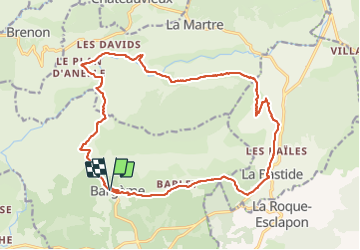

Length
22 km

Max alt
1291 m

Uphill gradient
749 m
Km-Effort
32 km

Min alt
916 m

Downhill gradient
748 m
Boucle
Yes
Creation date :
2023-09-10 06:43:03.0
Updated on :
2023-09-13 16:50:41.222
7h13
Difficulty : Medium

FREE GPS app for hiking
 SityTrail
IGN / Geographical institutes
SityTrail Plus
The world is yours!
About
Trail Walking of 22 km to be discovered at Provence-Alpes-Côte d'Azur, Var, Bargème. This trail is proposed by ETMU5496.
Description
Départ Bargème
Plan d'anelle
Pont de Madame
La Bastide et retour Bargème par le GR
Un peu de bitume à partir de la Bastide
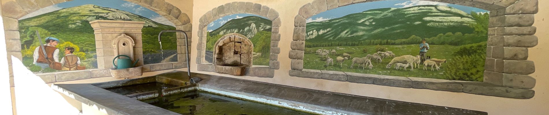
Photos


Positioning
Country:
France
Region :
Provence-Alpes-Côte d'Azur
Department/Province :
Var
Municipality :
Bargème
Location:
Unknown
Start:(Dec)
Start:(UTM)
304331 ; 4844779 (32T) N.
Comments