


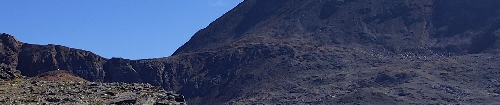
le Taillefer

bymarc26
User
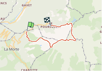

Length
12.3 km

Max alt
2851 m

Uphill gradient
1186 m
Km-Effort
28 km

Min alt
1659 m

Downhill gradient
1203 m
Boucle
No
Creation date :
2023-09-10 06:13:57.123
Updated on :
2023-09-11 12:28:41.661
4h55
Difficulty : Difficult

FREE GPS app for hiking
 SityTrail
IGN / Geographical institutes
SityTrail Plus
The world is yours!
About
Trail Walking of 12.3 km to be discovered at Auvergne-Rhône-Alpes, Isère, Livet-et-Gavet. This trail is proposed by bymarc26.
Description
avec 2 voitures pour éviter le retour après le Poursolet c'est top.
Photos


Positioning
Country:
France
Region :
Auvergne-Rhône-Alpes
Department/Province :
Isère
Municipality :
Livet-et-Gavet
Location:
Unknown
Start:(Dec)
Start:(UTM)
726235 ; 4992183 (31T) N.
Comments