


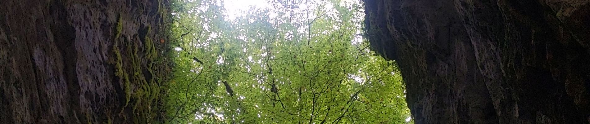
du tunnel d'Arbois à la Goulandiere

bymarc26
User
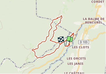

Length
10.7 km

Max alt
1117 m

Uphill gradient
601 m
Km-Effort
18.7 km

Min alt
597 m

Downhill gradient
596 m
Boucle
Yes
Creation date :
2023-09-14 07:00:21.871
Updated on :
2023-09-14 12:23:22.542
3h10
Difficulty : Medium

FREE GPS app for hiking
 SityTrail
IGN / Geographical institutes
SityTrail Plus
The world is yours!
About
Trail Walking of 10.7 km to be discovered at Auvergne-Rhône-Alpes, Isère, Choranche. This trail is proposed by bymarc26.
Description
attention. ne pas faire par temps humide
Photos

Positioning
Country:
France
Region :
Auvergne-Rhône-Alpes
Department/Province :
Isère
Municipality :
Choranche
Location:
Unknown
Start:(Dec)
Start:(UTM)
692939 ; 4994483 (31T) N.
Comments