


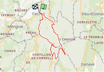

11.4 km | 16.9 km-effort

User


FREE GPS app for hiking
 SityTrail
IGN / Geographical institutes
SityTrail World
The world is yours!
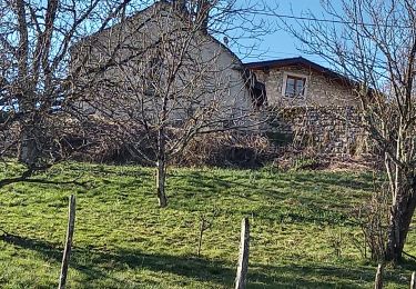
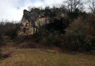
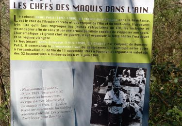
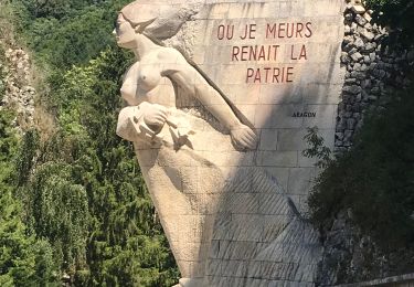
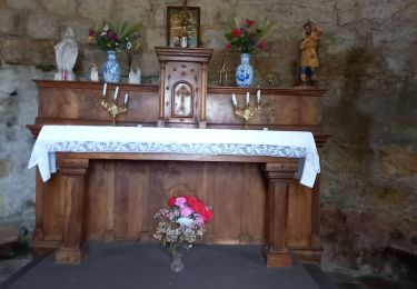
Trail Walking of 17.8 km to be discovered at Auvergne-Rhône-Alpes, Ain, Cerdon. This trail is proposed by SyMA.
Parking pres de mairie (WC)


On foot
Walking
Walking
Walking
Walking
Walking

Road bike
Walking
Walking