


Monistrole-d'Allier

RSVT Rando
Marchez curieux
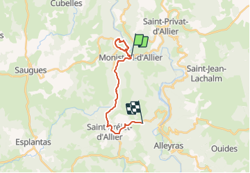

Length
17.1 km

Max alt
979 m

Uphill gradient
810 m
Km-Effort
27 km

Min alt
595 m

Downhill gradient
453 m
Boucle
No
Creation date :
2023-09-20 07:55:28.257
Updated on :
2023-10-31 17:20:33.389
2h14
Difficulty : Medium

FREE GPS app for hiking
 SityTrail
IGN / Geographical institutes
SityTrail Plus
The world is yours!
About
Trail Walking of 17.1 km to be discovered at Auvergne-Rhône-Alpes, Haute-Loire, Monistrol-d'Allier. This trail is proposed by RSVT Rando.
Description
Prendre le train depuis Alleyras et retour à Pieds.
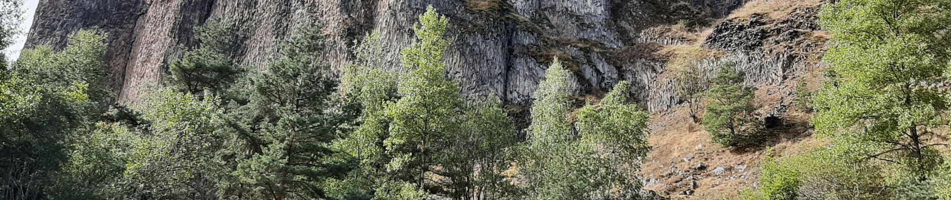
Photos

Positioning
Country:
France
Region :
Auvergne-Rhône-Alpes
Department/Province :
Haute-Loire
Municipality :
Monistrol-d'Allier
Location:
Unknown
Start:(Dec)
Start:(UTM)
550819 ; 4979666 (31T) N.
Comments