


messimy. thurins. soucieux en jarrest

maclobar
User
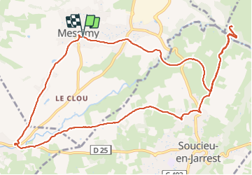

Length
14 km

Max alt
368 m

Uphill gradient
239 m
Km-Effort
17.2 km

Min alt
256 m

Downhill gradient
245 m
Boucle
Yes
Creation date :
2023-09-20 09:52:32.1
Updated on :
2023-09-20 23:48:14.659
2h58
Difficulty : Difficult

FREE GPS app for hiking
 SityTrail
IGN / Geographical institutes
SityTrail Plus
The world is yours!
About
Trail Walking of 14 km to be discovered at Auvergne-Rhône-Alpes, Rhône, Messimy. This trail is proposed by maclobar.
Description
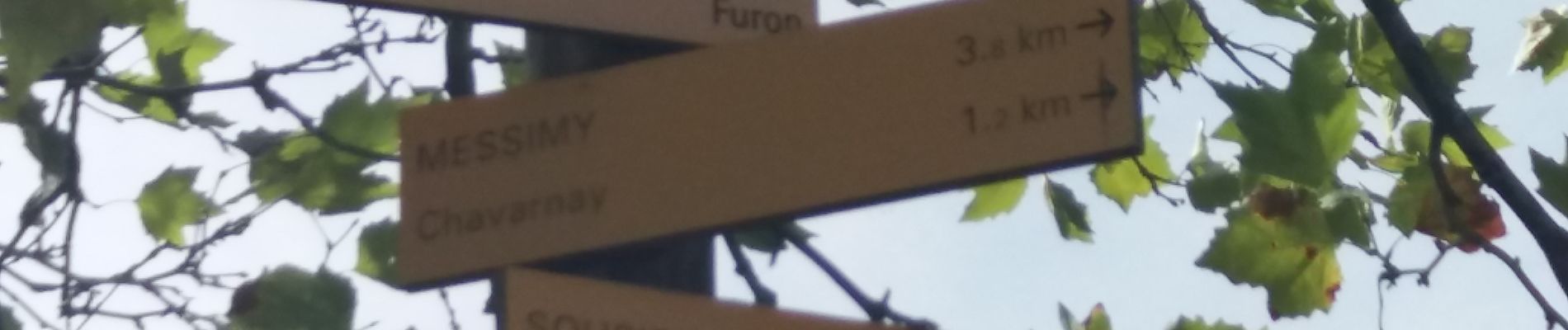
En sortant de Soucieu en Jarrest ne pas rater le chemin à gauche menant à Messimy.
Photos


Positioning
Country:
France
Region :
Auvergne-Rhône-Alpes
Department/Province :
Rhône
Municipality :
Messimy
Location:
Unknown
Start:(Dec)
Start:(UTM)
630433 ; 5061826 (31T) N.
Comments