


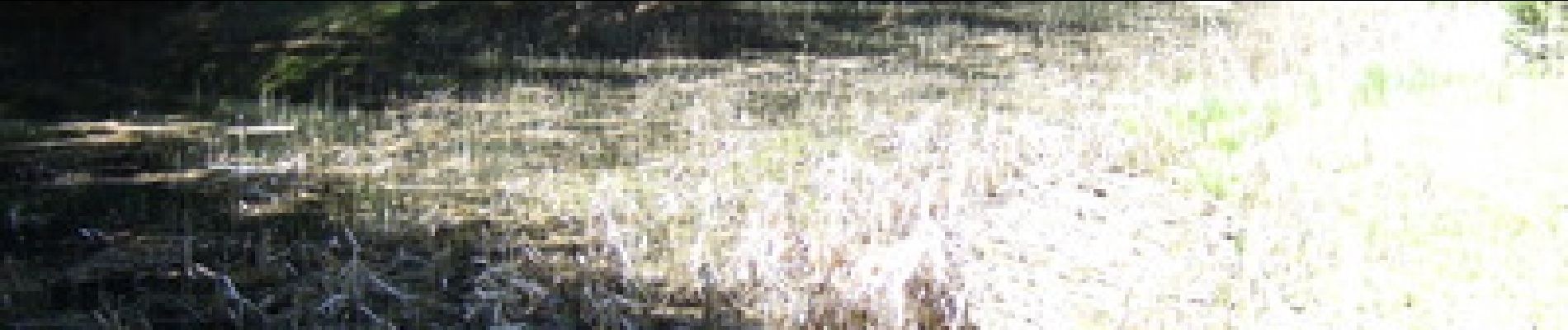
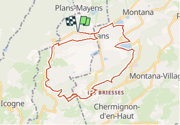
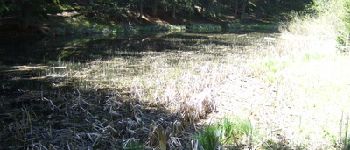
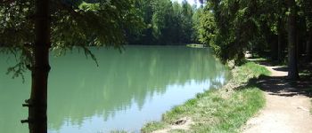
Lacs et étangs autour de Crans-sur-Sierre

duamerg
User

Length
10.7 km

Max alt
1506 m

Uphill gradient
295 m
Km-Effort
14.6 km

Min alt
1336 m

Downhill gradient
295 m
Boucle
Yes
Creation date :
2014-12-10 00:00:00.0
Updated on :
2020-01-30 13:57:26.853
3h28
Difficulty : Easy

FREE GPS app for hiking
 SityTrail
IGN / Geographical institutes
SityTrail Plus
The world is yours!
About
Trail Walking of 10.7 km to be discovered at Valais/Wallis, Sierre, Lens. This trail is proposed by duamerg.
Photos


Positioning
Country:
Switzerland
Region :
Valais/Wallis
Department/Province :
Sierre
Municipality :
Lens
Location:
Unknown
Start:(Dec)
Start:(UTM)
381553 ; 5129379 (32T) N.
Comments