


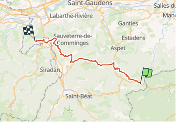

13.2 km | 23 km-effort


User


FREE GPS app for hiking
 SityTrail
IGN / Geographical institutes
SityTrail World
The world is yours!
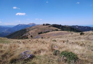
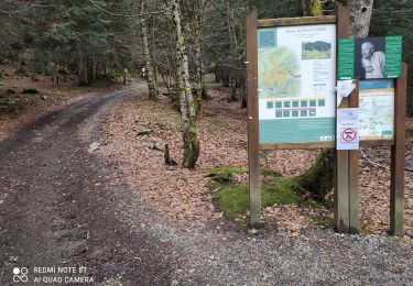
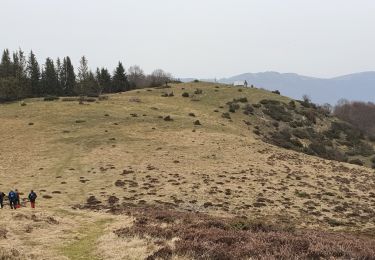
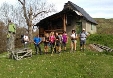
Trail Walking of 46 km to be discovered at Occitania, Haute-Garonne, Portet-d'Aspet. This trail is proposed by LEGUE.
Beau jusqu’à 13h
Pluie vers 14h


Walking
Walking
Walking

Walking
Walking

Mountain bike

Walking

Walking
Walking