


wasserfall

apa
User
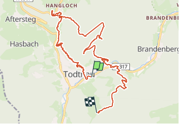

Length
13.3 km

Max alt
1034 m

Uphill gradient
1001 m
Km-Effort
25 km

Min alt
644 m

Downhill gradient
627 m
Boucle
No
Creation date :
2023-09-24 08:27:19.239
Updated on :
2023-09-24 13:05:07.765
3h00
Difficulty : Very difficult

FREE GPS app for hiking
 SityTrail
IGN / Geographical institutes
SityTrail Plus
The world is yours!
About
Trail Walking of 13.3 km to be discovered at Baden-Württemberg, Landkreis Lörrach, Todtnau. This trail is proposed by apa.
Description
cascade, pont de singe et arrivée au départ en luge d'été.
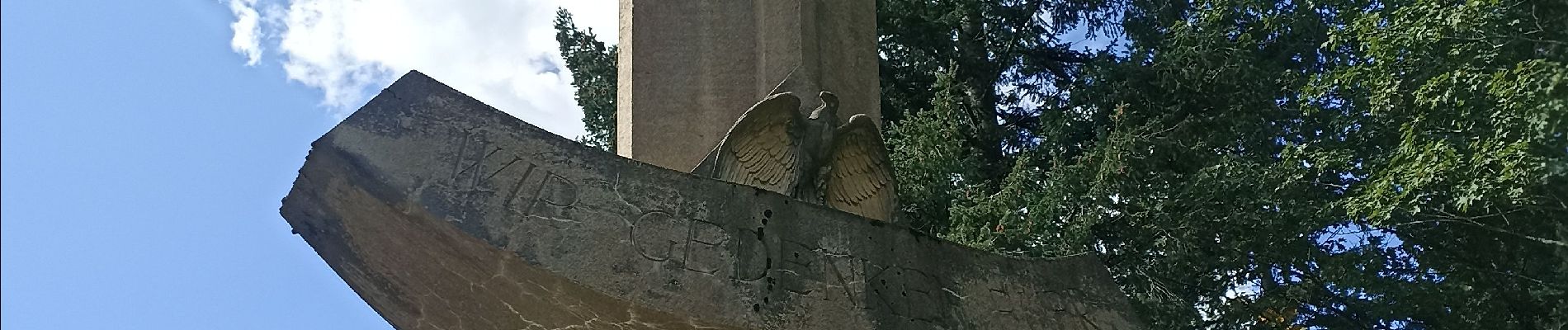
Photos


Positioning
Country:
Germany
Region :
Baden-Württemberg
Department/Province :
Landkreis Lörrach
Municipality :
Todtnau
Location:
Unknown
Start:(Dec)
Start:(UTM)
421392 ; 5297903 (32T) N.
Comments