


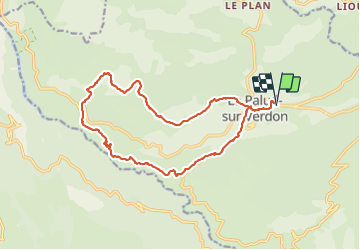
La palud sentier Bastidon

taguette
User

Length
18.2 km

Max alt
1383 m

Uphill gradient
928 m
Km-Effort
31 km

Min alt
701 m

Downhill gradient
929 m
Boucle
Yes
Creation date :
2023-09-27 06:40:43.591
Updated on :
2023-09-27 13:45:18.095
5h51
Difficulty : Very difficult

FREE GPS app for hiking
 SityTrail
IGN / Geographical institutes
SityTrail Plus
The world is yours!
About
Trail Walking of 18.2 km to be discovered at Provence-Alpes-Côte d'Azur, Alpes-de-Haute-Provence, La Palud-sur-Verdon. This trail is proposed by taguette.
Positioning
Country:
France
Region :
Provence-Alpes-Côte d'Azur
Department/Province :
Alpes-de-Haute-Provence
Municipality :
La Palud-sur-Verdon
Location:
Unknown
Start:(Dec)
Start:(UTM)
286663 ; 4850876 (32T) N.
Comments