


parcours 1

psesjs
User
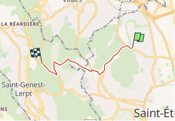

Length
3.8 km

Max alt
633 m

Uphill gradient
88 m
Km-Effort
5.2 km

Min alt
472 m

Downhill gradient
159 m
Boucle
No
Creation date :
2023-09-28 12:22:28.555
Updated on :
2023-09-28 13:28:02.586
18m
Difficulty : Easy

FREE GPS app for hiking
 SityTrail
IGN / Geographical institutes
SityTrail Plus
The world is yours!
About
Trail Mountain bike of 3.8 km to be discovered at Auvergne-Rhône-Alpes, Loire, Saint-Étienne. This trail is proposed by psesjs.
Positioning
Country:
France
Region :
Auvergne-Rhône-Alpes
Department/Province :
Loire
Municipality :
Saint-Étienne
Location:
Unknown
Start:(Dec)
Start:(UTM)
607474 ; 5034562 (31T) N.
Comments