


Tir à l’arc

JPDL31
User
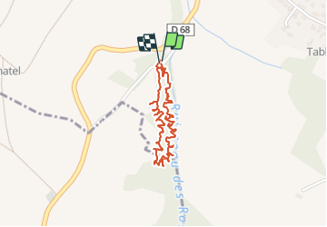

Length
2 km

Max alt
215 m

Uphill gradient
30 m
Km-Effort
2.4 km

Min alt
186 m

Downhill gradient
30 m
Boucle
Yes
Creation date :
2023-09-29 14:08:25.0
Updated on :
2023-09-29 16:40:52.917
51m
Difficulty : Easy

FREE GPS app for hiking
 SityTrail
IGN / Geographical institutes
SityTrail Plus
The world is yours!
About
Trail Other activity of 2 km to be discovered at Occitania, Haute-Garonne, Montgiscard. This trail is proposed by JPDL31.
Positioning
Country:
France
Region :
Occitania
Department/Province :
Haute-Garonne
Municipality :
Montgiscard
Location:
Unknown
Start:(Dec)
Start:(UTM)
383723 ; 4811688 (31T) N.
Comments