


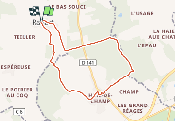
Rahart - Haie-de-Champ

guydu41
User


2h06
Difficulty : Easy

FREE GPS app for hiking
 SityTrail
IGN / Geographical institutes
SityTrail Plus
The world is yours!
About
Trail Walking of 8.1 km to be discovered at Centre-Loire Valley, Loir-et-Cher, Rahart. This trail is proposed by guydu41.
Description
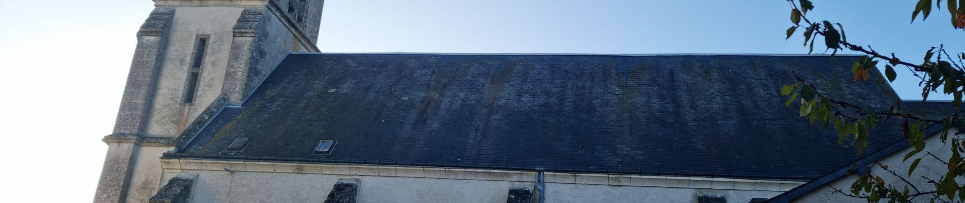
Ce circuit en sens horaire démarre depuis un petit parking le long de la Rue des Châtaigniers à proximité de l'Eglise Saint-Raymond, 41160 Rahart.
Une partie de ce parcours emprunte un circuit balisé violet sur fond blanc par l'association "chemins et paysages".
Les sentiers dans le Bois du Couteau et le Bois de l'Epau sont très beaux.
Après la traversée du hameau "Haie-de-Champ" le circuit longe le Bois Ancelin et le Bois du Coq d'Atry pour revenir au point de départ.
Photos


Positioning
Comments