


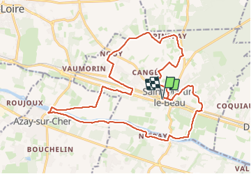
Saint-Martin-le-Beau - Nitray GR41 Azay-sur-Cher - 23.2km 185m 5h15 (40mn) - 2023 10 04

Orcal37
User GUIDE

Length
23 km

Max alt
114 m

Uphill gradient
185 m
Km-Effort
26 km

Min alt
47 m

Downhill gradient
185 m
Boucle
Yes
Creation date :
2023-10-04 09:00:43.862
Updated on :
2023-10-04 18:25:36.23
5h15
Difficulty : Easy

FREE GPS app for hiking
 SityTrail
IGN / Geographical institutes
SityTrail Plus
The world is yours!
About
Trail Walking of 23 km to be discovered at Centre-Loire Valley, Indre-et-Loire, Saint-Martin-le-Beau. This trail is proposed by Orcal37.
Description
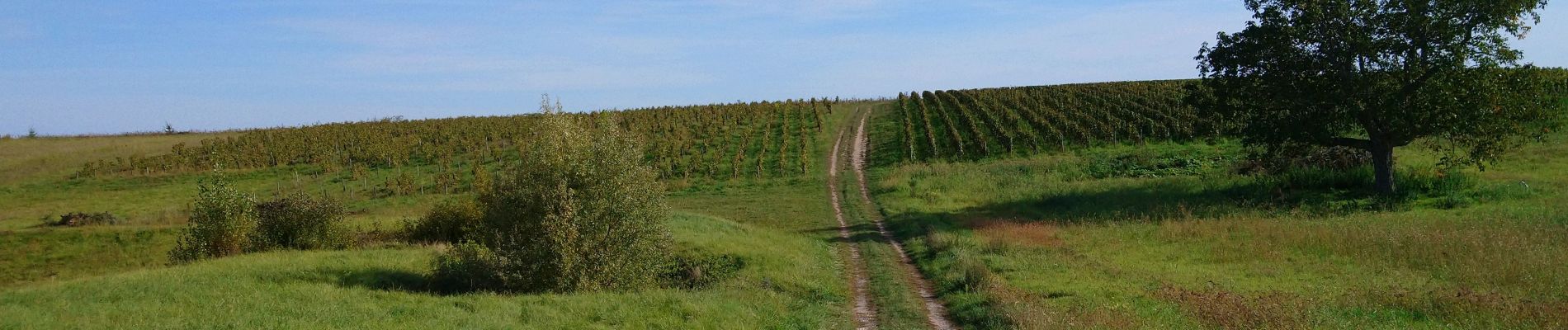
Saint-Martin-le-Beau - Nitray - GR41 - Azay-sur-Cher - lavoirs vignes plaines forêts le Cher - 23.2km 185m 5h15 (40mn) - 2023 10 04
Photos
 - 2023 10 04 - Photo 1")
 - 2023 10 04 - Photo 2")
 - 2023 10 04 - Photo 3")
 - 2023 10 04 - Photo 4")
 - 2023 10 04 - Photo 5")
 - 2023 10 04 - Photo 6")
 - 2023 10 04 - Photo 7")
 - 2023 10 04 - Photo 8")
 - 2023 10 04 - Photo 9")
 - 2023 10 04 - Photo 10")
 - 2023 10 04 - Photo 11")
 - 2023 10 04 - Photo 12")
 - 2023 10 04 - Photo 13")
 - 2023 10 04 - Photo 14")
Positioning
Country:
France
Region :
Centre-Loire Valley
Department/Province :
Indre-et-Loire
Municipality :
Saint-Martin-le-Beau
Location:
Unknown
Start:(Dec)
Start:(UTM)
341845 ; 5246804 (31T) N.
Comments