


Capesterre

sameja
User
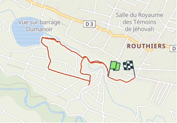

Length
3.6 km

Max alt
230 m

Uphill gradient
60 m
Km-Effort
4.5 km

Min alt
168 m

Downhill gradient
70 m
Boucle
No
Creation date :
2023-10-05 17:19:53.0
Updated on :
2023-10-05 18:19:18.716
48m
Difficulty : Medium

FREE GPS app for hiking
 SityTrail
IGN / Geographical institutes
SityTrail Plus
The world is yours!
About
Trail Trail of 3.6 km to be discovered at Guadeloupe, Unknown, Capesterre-Belle-Eau. This trail is proposed by sameja.
Description
L boucle des escaliers
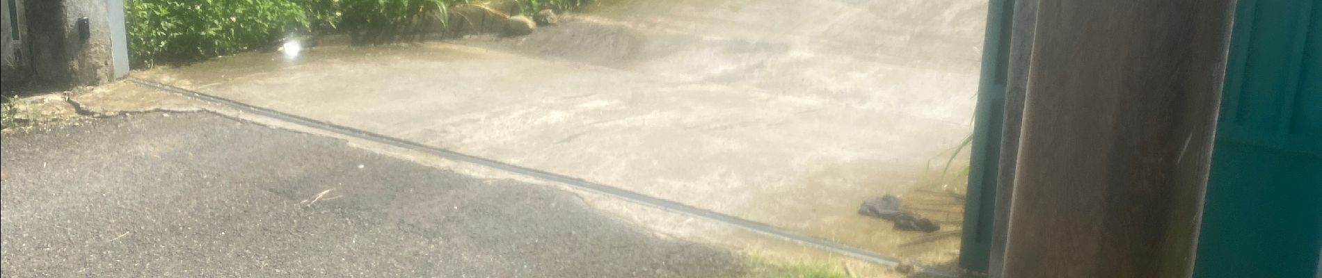
Photos


Positioning
Country:
France
Region :
Guadeloupe
Department/Province :
Unknown
Municipality :
Capesterre-Belle-Eau
Location:
Unknown
Start:(Dec)
Start:(UTM)
649822 ; 1773574 (20Q) N.
Comments