
Faron côté nord

cousam
User


3h08
Difficulty : Difficult

FREE GPS app for hiking
About
Trail Walking of 4.6 km to be discovered at Provence-Alpes-Côte d'Azur, Var, Toulon. This trail is proposed by cousam.
Description
Départ du fort St Antoine par un sentier( balisé bleu) de niveau ,puis forte montée.
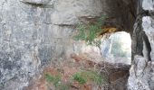
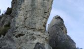
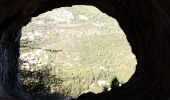
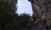
A voir en AR roche trouée (2 points bleu)
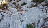
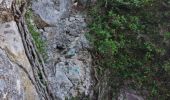
Arriver au rempart la trace bleu est à droite ,mais c'est très rock en rool avec un ressaut de 3 m avec des barbelés ,il vaut mieux prendre à gauche(barreaux échelle). Aller jusqu'à l'antenne et suivre les traces bleu.
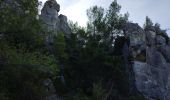
Attention forte descente jusqu'à la tour de l'Ubac. Ensuite suivre le chemin, car le passage pour rejoindre le sentier du départ n'est pas balisé et il faut une corde pour passer un ressaut de 4m.
Positioning
Comments


 SityTrail







bonjour j'avais monté le sentier bleu a partir de la tour de l'ubac mais je n'ai pas vu la roche percée Pourriez vous m'aider? cordialement frederic frederikbruguier@gmail.com