


20231008 Les Houches Vaudagne Charousse

Childebert
User

Length
7.2 km

Max alt
1215 m

Uphill gradient
312 m
Km-Effort
11.4 km

Min alt
943 m

Downhill gradient
312 m
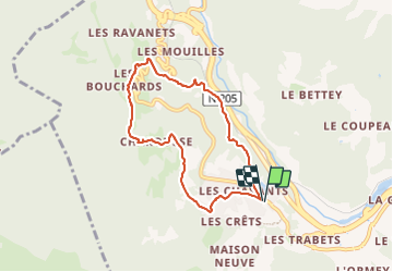
Boucle
Yes
Creation date :
2023-10-08 09:31:59.085
Updated on :
2023-10-08 13:09:09.521
3h34
Difficulty : Medium

FREE GPS app for hiking
 SityTrail
IGN / Geographical institutes
SityTrail Plus
The world is yours!
About
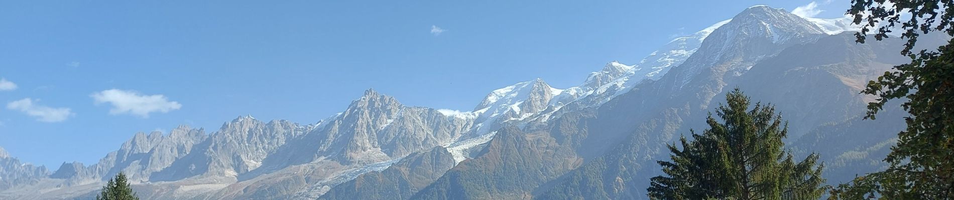
Trail Walking of 7.2 km to be discovered at Auvergne-Rhône-Alpes, Upper Savoy, Les Houches. This trail is proposed by Childebert.
Photos


Positioning
Country:
France
Region :
Auvergne-Rhône-Alpes
Department/Province :
Upper Savoy
Municipality :
Les Houches
Location:
Unknown
Start:(Dec)
Start:(UTM)
327963 ; 5084726 (32T) N.
Comments
Superbe randonnée à la découverte des alpages de Charousse.