


Champigny 231011

Specialized77
User GUIDE

Length
7.3 km

Max alt
189 m

Uphill gradient
139 m
Km-Effort
9.2 km

Min alt
98 m

Downhill gradient
140 m
Boucle
Yes
Creation date :
2023-10-11 13:07:04.371
Updated on :
2023-10-11 21:30:32.807
2h05
Difficulty : Medium

FREE GPS app for hiking
 SityTrail
IGN / Geographical institutes
SityTrail Plus
The world is yours!
About
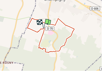
Trail Walking of 7.3 km to be discovered at Bourgogne-Franche-Comté, Yonne, Champigny. This trail is proposed by Specialized77.
Description
Partie entre le point de départ et l'arrivée sur la route D70 très peu praticable (soit 2,1 km) : à retirer de l'itinéraire.
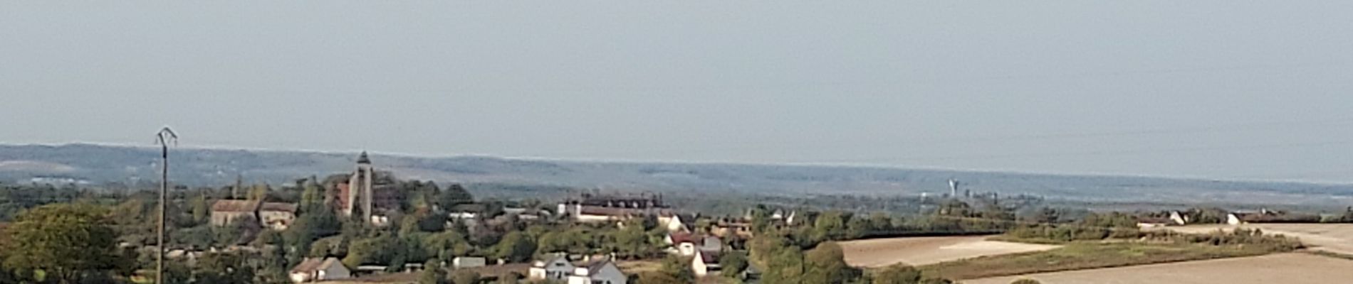
Photos

Positioning
Country:
France
Region :
Bourgogne-Franche-Comté
Department/Province :
Yonne
Municipality :
Champigny
Location:
Unknown
Start:(Dec)
Start:(UTM)
508892 ; 5350499 (31U) N.
Comments