


LP80_QUEND-PLAGE_Nord_6.7km

GR77LP
User
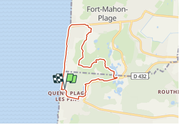

Length
6.6 km

Max alt
20 m

Uphill gradient
52 m
Km-Effort
7.3 km

Min alt
0 m

Downhill gradient
52 m
Boucle
Yes
Creation date :
2023-10-17 12:08:48.315
Updated on :
2023-10-17 16:33:56.922
1h40
Difficulty : Medium

FREE GPS app for hiking
 SityTrail
IGN / Geographical institutes
SityTrail Plus
The world is yours!
About
Trail Walking of 6.6 km to be discovered at Hauts-de-France, Somme, Quend. This trail is proposed by GR77LP.
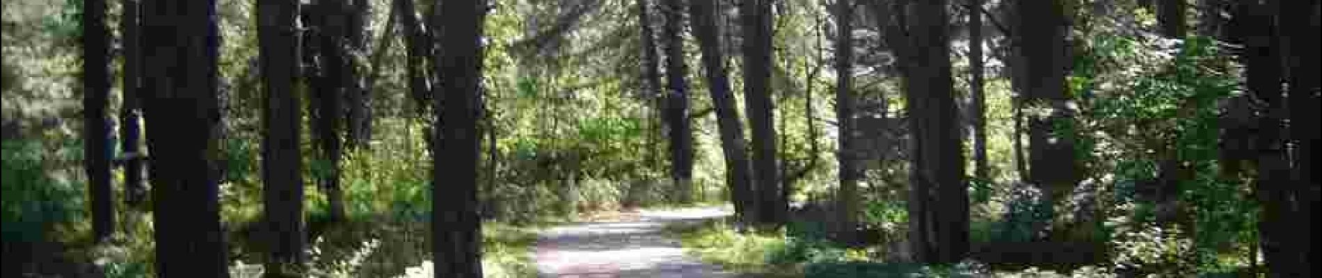
Photos

Positioning
Country:
France
Region :
Hauts-de-France
Department/Province :
Somme
Municipality :
Quend
Location:
Unknown
Start:(Dec)
Start:(UTM)
396628 ; 5575769 (31U) N.
Comments