Trail Walking Beaujeu - Itinérant Beaujolais rouge étape 4 . Malval - Chiroubles - Photo

Itinérant Beaujolais rouge étape 4 . Malval - Chiroubles

 chessyca
chessyca

User

© OpenStreetMap contributors
Length
Length
26 km
Max alt
Max alt
583 m
Uphill gradient
Uphill gradient
595 m
Km-Effort
Km-Effort  
34 km
Min alt
Min alt
252 m
Downhill gradient
Downhill gradient
761 m
Boucle
Boucle
No
Creation date :
2023-10-19 06:59:16.136
Updated on :
2023-10-22 18:18:15.134

(0 Reviews)

Walking
Walking
5h40
Difficulty : Medium

Scan this QR Code to open this trail in the SityTrail application

FREE GPS app for hiking

Logo SityTrail SityTrail

IGN / Geographical institutes

Download SityTrail from the App Store Download SityTrail from Google Play

Logo SityTrail SityTrail World

The world is yours!

Download SityTrail from the App Store Download SityTrail from Google Play Download SityTrail on Huawei AppGallery

About

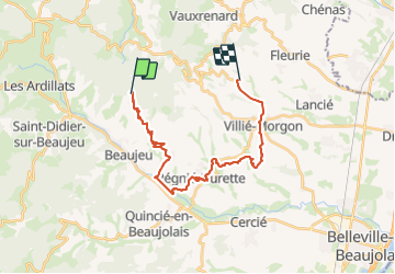
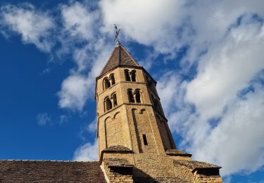
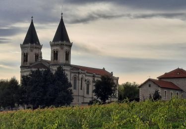
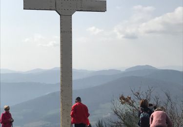
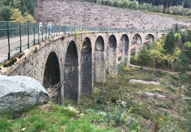
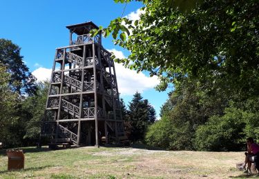
Trail Walking of 26 km to be discovered at Auvergne-Rhône-Alpes, Rhône, Beaujeu. This trail is proposed by chessyca.

Description

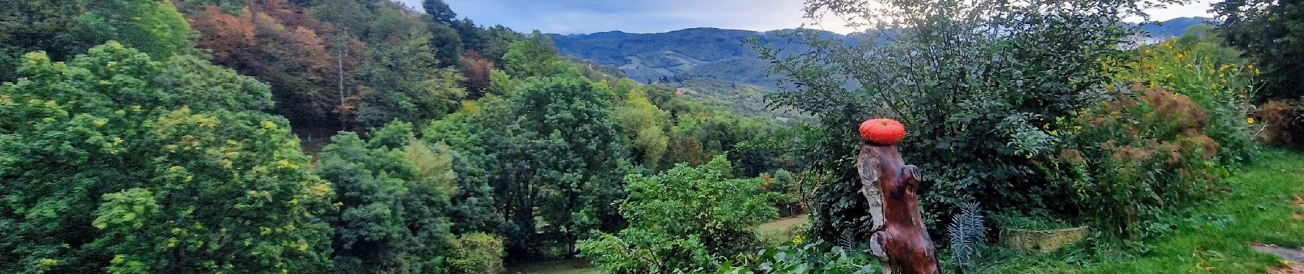
Une belle étape dans les vignes principalement

Elevation profile

Photos

Positioning

Country:
France
Region :
Auvergne-Rhône-Alpes
Department/Province :
Rhône
Municipality :
Beaujeu
Location:
Unknown
Start:(UTM)
623374 ; 5114761 (31T) N.

Trails nearby

Trail Walking Deux-Grosnes - Circuit n°1 du Mont Saint-Rigaud - Monsols - Photo
Walking
tracegps

Walking

Easy
(1)
Deux-Grosnes, Auvergne-Rhône-Alpes, Rhône, France
5.3 km | 7.2 km-effort
1h 19min
Yes
Trail Mountain bike Lantignié - 19e Rando des Primeurs - Photo
Mountain bike
tracegps

Mountain bike

Difficult
(1)
Lantignié, Auvergne-Rhône-Alpes, Rhône, France
30 km | 45 km-effort
3h 0min
Yes
Trail Walking Vauxrenard - vauxrenard - Photo
Walking
Zeugma13

Walking

Difficult
(1)
Vauxrenard, Auvergne-Rhône-Alpes, Rhône, France
21 km | 31 km-effort
5h 7min
Yes
Trail Walking Vauxrenard - Itinérant Beaujolais rouge étape 6 Foretal - Macon gare TGV - Photo
Walking
chessyca

Walking

Very difficult
Vauxrenard, Auvergne-Rhône-Alpes, Rhône, France
23 km | 28 km-effort
6h 26min
No
Trail On foot Régnié-Durette - 2022-09-01_17h24m13_e3IWHtaTFWwfACzh8d3-Xw - Photo
On foot
Jean-Marc C

On foot

Medium
Régnié-Durette, Auvergne-Rhône-Alpes, Rhône, France
18.1 km | 25 km-effort
5h 40min
Yes
Trail On foot Deux-Grosnes - Circuit du Mont Saint-Rigaud 15 km - Photo
On foot
PRO

On foot

Easy
Deux-Grosnes, Auvergne-Rhône-Alpes, Rhône, France
8.6 km | 13.7 km-effort
3h 6min
No
Trail Walking Chiroubles - Fût d’Avenas  (13 km - D. 455 m) - Photo
Walking
Thomasdanielle

Walking

Medium
(1)
Chiroubles, Auvergne-Rhône-Alpes, Rhône, France
13 km | 19.1 km-effort
4h 21min
Yes
Trail Walking Les Ardillats - Col de crie au Viaduc (7,4 km - D. 173 m) - Photo
Walking
Thomasdanielle

Walking

Easy
Les Ardillats, Auvergne-Rhône-Alpes, Rhône, France
7.3 km | 9.5 km-effort
3h 15min
Yes
Trail On foot Deux-Grosnes - Mont Saint-Rigaud (14 km - D. 447 m) - Photo
On foot
Thomasdanielle

On foot

Easy
Deux-Grosnes, Auvergne-Rhône-Alpes, Rhône, France
13.5 km | 19.5 km-effort
Unknown
Yes


Close
My subscriptions