


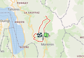
Chalet de l'Aups depuis la Côte par Col de la Forclaz

katiab
User

Length
10.1 km

Max alt
1491 m

Uphill gradient
522 m
Km-Effort
17.1 km

Min alt
1019 m

Downhill gradient
522 m
Boucle
Yes
Creation date :
2023-10-22 08:51:51.711
Updated on :
2023-10-22 13:12:19.298
3h41
Difficulty : Medium

FREE GPS app for hiking
 SityTrail
IGN / Geographical institutes
SityTrail Plus
The world is yours!
About
Trail Walking of 10.1 km to be discovered at Auvergne-Rhône-Alpes, Upper Savoy, Talloires-Montmin. This trail is proposed by katiab.
Photos


Positioning
Country:
France
Region :
Auvergne-Rhône-Alpes
Department/Province :
Upper Savoy
Municipality :
Talloires-Montmin
Location:
Montmin
Start:(Dec)
Start:(UTM)
286971 ; 5076306 (32T) N.
Comments