


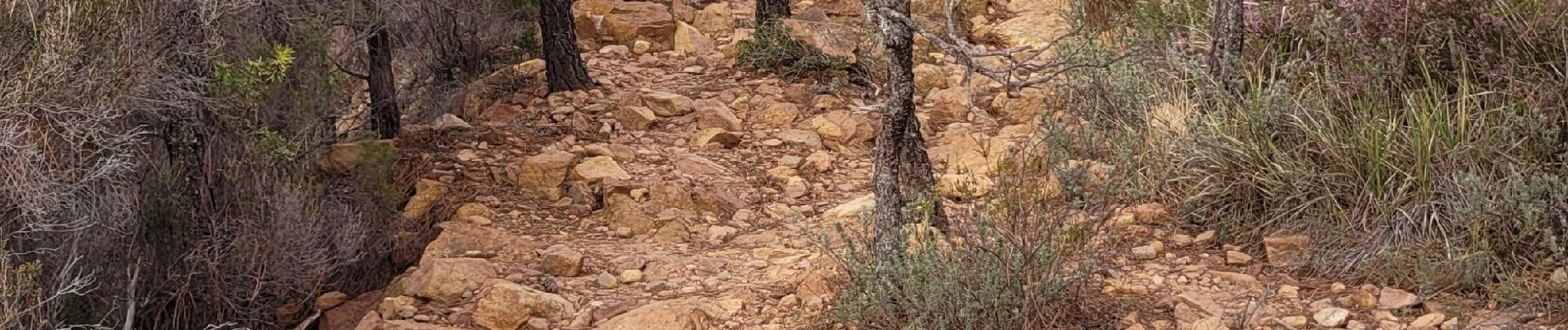
la dent de l'ours depuis gare de Trayas

marcagif
User
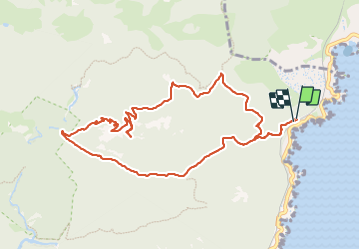

Length
11.1 km

Max alt
388 m

Uphill gradient
564 m
Km-Effort
18.6 km

Min alt
27 m

Downhill gradient
566 m
Boucle
Yes
Creation date :
2023-10-23 08:08:54.366
Updated on :
2023-10-24 16:58:23.193
3h24
Difficulty : Easy

FREE GPS app for hiking
 SityTrail
IGN / Geographical institutes
SityTrail Plus
The world is yours!
About
Trail Walking of 11.1 km to be discovered at Provence-Alpes-Côte d'Azur, Var, Saint-Raphaël. This trail is proposed by marcagif.
Photos


Positioning
Country:
France
Region :
Provence-Alpes-Côte d'Azur
Department/Province :
Var
Municipality :
Saint-Raphaël
Location:
Unknown
Start:(Dec)
Start:(UTM)
332137 ; 4815647 (32T) N.
Comments