


monges

Danielba
User GUIDE


Length
14.7 km

Max alt
2110 m

Uphill gradient
931 m
Km-Effort
27 km

Min alt
1225 m

Downhill gradient
929 m
Boucle
Yes
Creation date :
2023-10-25 07:50:30.686
Updated on :
2023-10-25 14:22:16.084
6h07
Difficulty : Easy

FREE GPS app for hiking
 SityTrail
IGN / Geographical institutes
SityTrail Plus
The world is yours!
About
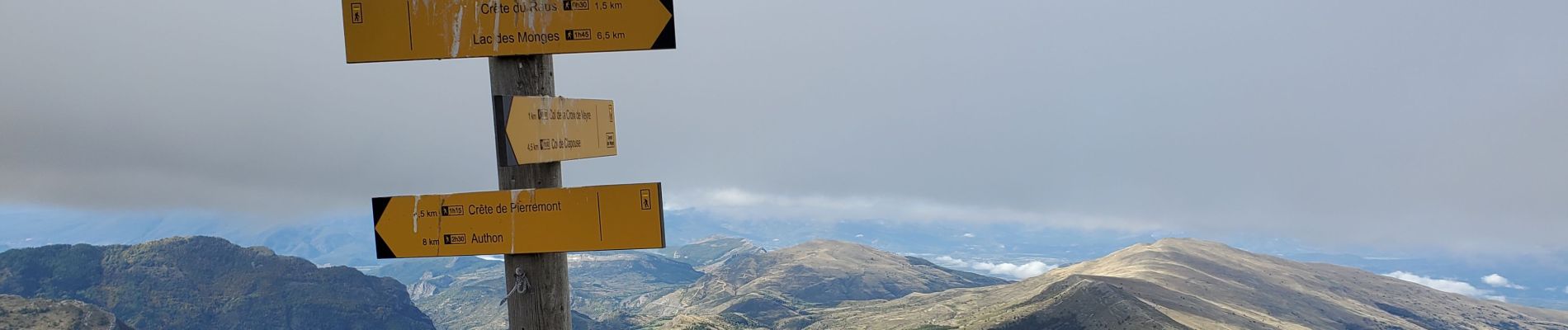
Trail Walking of 14.7 km to be discovered at Provence-Alpes-Côte d'Azur, Alpes-de-Haute-Provence, Authon. This trail is proposed by Danielba .
Photos


Positioning
Country:
France
Region :
Provence-Alpes-Côte d'Azur
Department/Province :
Alpes-de-Haute-Provence
Municipality :
Authon
Location:
Unknown
Start:(Dec)
Start:(UTM)
272035 ; 4903504 (32T) N.
Comments