


Myon et Alaise

RSVT Rando
Marchez curieux
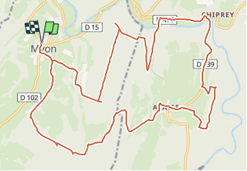

Length
16.8 km

Max alt
491 m

Uphill gradient
482 m
Km-Effort
23 km

Min alt
322 m

Downhill gradient
482 m
Boucle
Yes
Creation date :
2023-10-26 15:22:19.0
Updated on :
2023-10-31 17:08:03.275
5h15
Difficulty : Difficult

FREE GPS app for hiking
 SityTrail
IGN / Geographical institutes
SityTrail Plus
The world is yours!
About
Trail Walking of 16.8 km to be discovered at Bourgogne-Franche-Comté, Doubs, Myon. This trail is proposed by RSVT Rando.
Description
Au passage, une formation géologique du Jura: "la culée de Monniot".
Positioning
Country:
France
Region :
Bourgogne-Franche-Comté
Department/Province :
Doubs
Municipality :
Myon
Location:
Unknown
Start:(Dec)
Start:(UTM)
723579 ; 5212269 (31T) N.
Comments